
by Jonathan Tomlinson
Share
Share
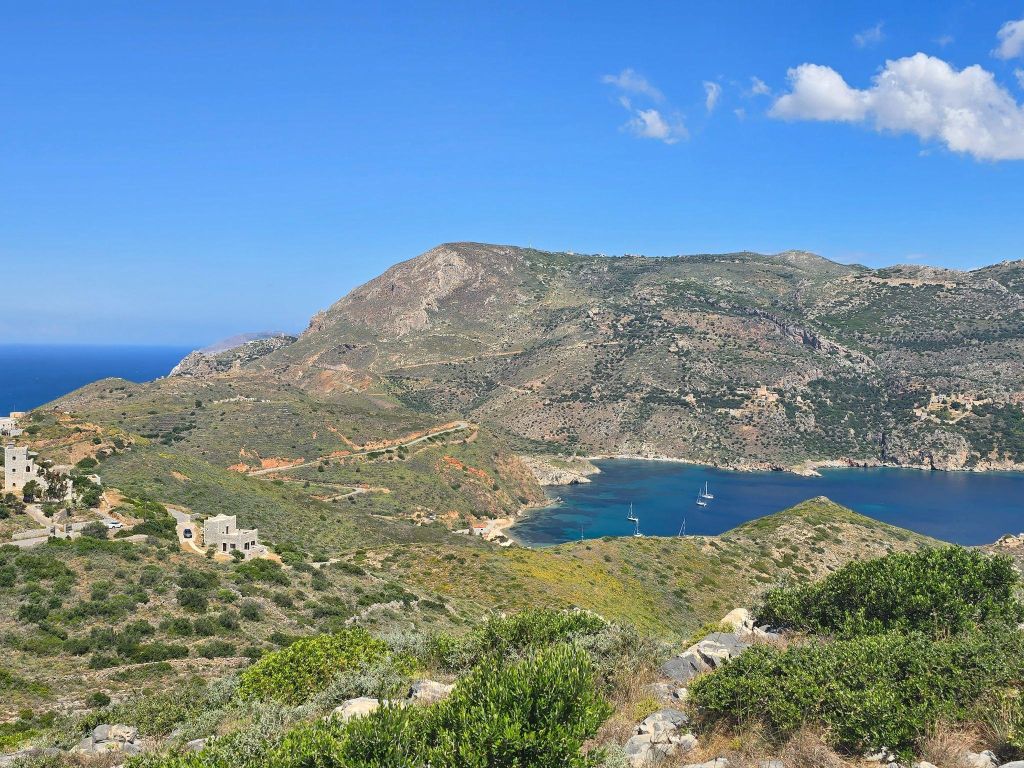
In May-June 2026, under the auspices of the Ephorate of Antiquities of Lakonia, with a permit through the Canadian Institute in Greece, the Southern Mani Archaeological Project (SMAP), directed by Drs. Chelsea Gardner (Acadia University) and William Parkinson (Field Museum / University of Illinois at Chicago), conducted pedestrian field survey in the southernmost portion of the Mani peninsula. The following is a blog post written by SMAP student participants Eliese Dziak, Cameryn Gateman, and Megan Earley.
2026 Season in Southern Mani
The 2026 field season marked the second survey season of the Southern Mani Archaeological Project (SMAP), and the first season under a new, 5-year permit. Directed by Dr. Chelsea Gardner (Acadia University) and Dr. William Parkinson (Field Museum of Natural History and the University of Illinois Chicago), the Southern Mani Archaeological Project is conducted under the auspices of the Ephorate of Antiquities in Lakonia and the Canadian Institute in Greece. The project brought together an international team of researchers and students from institutions across Canada, the United States, Greece, Germany, and France.
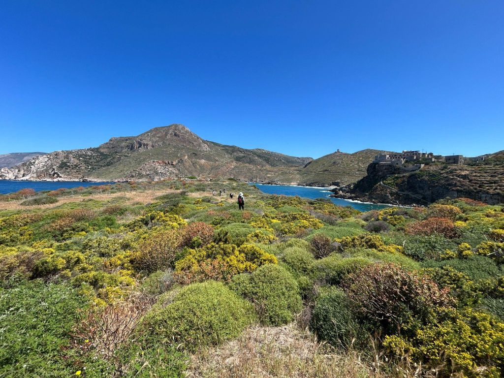
SMAP survey team during the first week of the 2026 field season
Our team of 21 gathered in Mani, Lakonia, from May-June 2026 to begin work. In addition to the two project directors, the team included Dr. Rebecca Seifried (University of Massachusetts-Amherst), GIS and database director; Dr. Shannon Dunn (University of Edinburgh), lab director; Dr. Mo Snyder (Acadia University), geologist; regional specialists Dr. Katerina Ragkou (Phillips University of Marburg), Dr. Anastasia Papathenasiou (Greek Ministry of Culture), Dr. Sarah Murray (University of Toronto), PhD candidate Adam Wiznura (University of Groningen); aerial imaging experts Dr. Simon Oiry (Université Nantes), Dr. Laurent Barillé (Université Nantes), Philippe Rosa (Université Nantes); and nine student assistants, Cameron Barnard (University of Waterloo), Gabe Davis (University of Illinois Chicago), Eliese Dziak (University of Illinois Chicago), Megan Earley (Acadia University), Cameryn Gateman (Trent University), Oliver Godelie (Acadia University), Aydaen Markowski (Conservation Corps New Mexico), Ifigenia Paschali (National Technical University of Athens), and Christos Zigoumis (Carleton University).
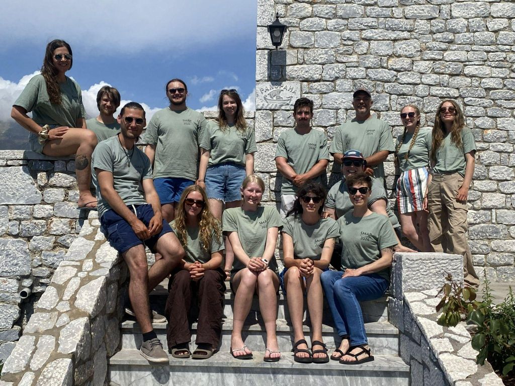
SMAP 2026 team photo at the Hotel Panorama
The goal of the project is to gain a better understanding of the interactions involving the communities of the area and the wider Eastern Mediterranean throughout history and to develop a diachronic and multi-temporal understanding of this dynamic region of Lakonia. Building off the pilot research we conducted in Porto Kagio bay in 2025-2026, this year our team conducted intensive pedestrian survey across the Matapan peninsula, integrating geological investigation, GIS mapping, drone-based photogrammetry, LiDAR, and in-field analysis of archaeological materials. We managed to cover approximately 1.7 sq km or 5.7% of our total permitted survey area! Survey teams systematically documented archaeological material visible on the ground surface while recording a wide range of cultural and landscape features, including agricultural terraces, cisterns, towers, quarries, lime kilns and settlement remains.
Despite the peninsula’s rugged terrain, characterized by steep slopes and dense vegetation, the 2026 season produced significant new data that will contribute to our understanding of settlement patterns, resource exploitation, and agricultural practices.
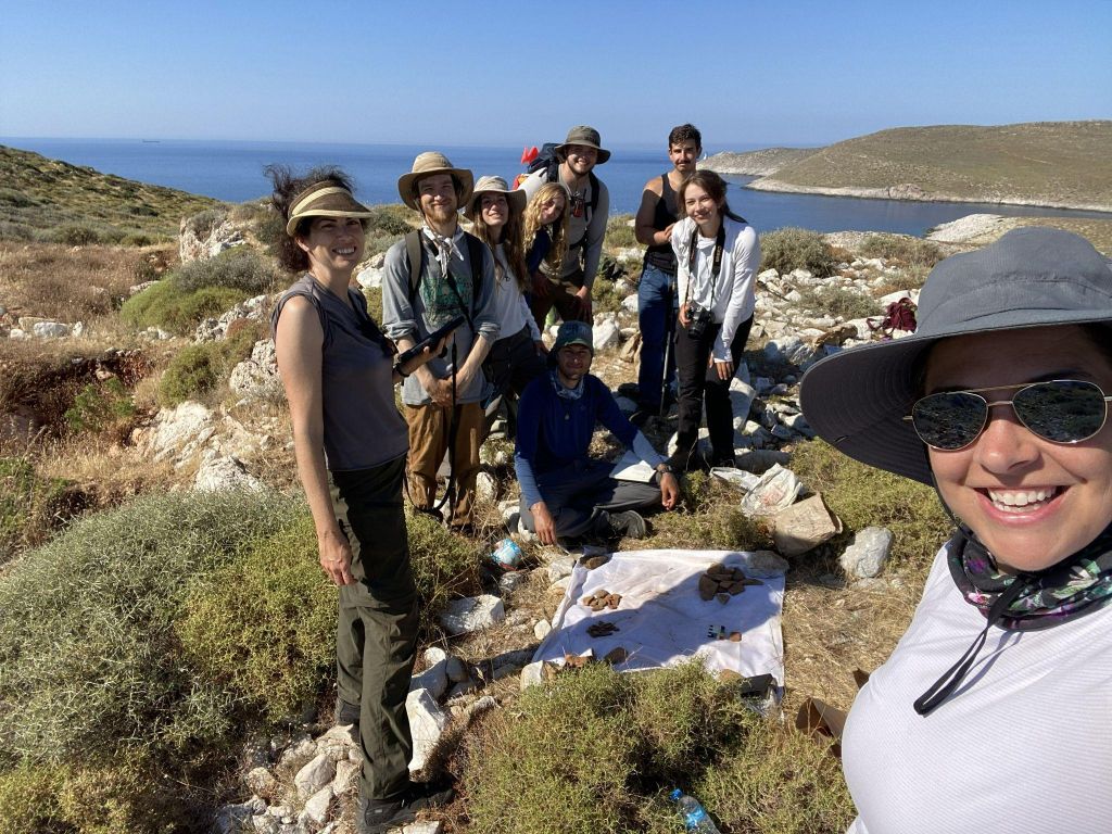
SMAP survey and lab team members on the last day of survey
Fieldwork
Fueled by a breakfast from our amazing hosts at the Hotel Panorama, our field and lab teams hit the road between 7:00-8:00 AM each morning to go to the day’s location(s) and try to beat the heat. The beautiful drive was often punctuated by local traffic of sunbathing dogs, herds of sheep/goats, car karaoke, and an unabating excitement that comes from the joy of working in such a historically rich and vibrant place. Upon reaching our destination and conducting our daily safety and wellness checks, we separated into lab and survey teams. Unlike excavation, pedestrian survey examines the broader archaeological landscape rather than only focusing on a single site. Surveyors systematically walk across the terrain, recording visible archaeological material and cultural features to better understand long term patterns of human activity within the region. Units were defined in the field based on the terrain and visibility of the area; some areas were unsurveyable due to heavy vegetation, construction, or slopes greater than 30 degrees.
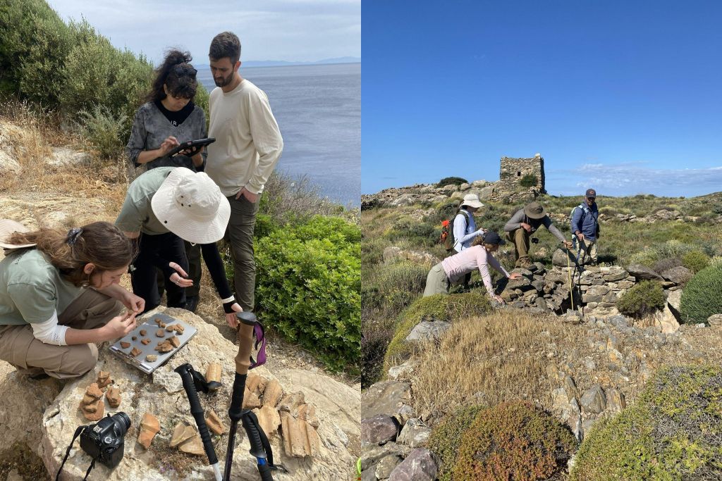
(Left) Student assistants Ifigenia Paschali (front left) and Cameron Barnard (front right) conducting in-field lab analysis under guidance of Shannon Dunn (back left) and Adam Wiznura (back right). (Right) From left to right, student assistants Cameryn Gateman, Eliese Dziak, and Oliver Godelie measure a cistern with guidance from William Parkinson
In compliance with our permit, we conducted much of our lab work at our field locations. This is different from typical archaeological lab work where all finds are brought back to a controlled environment for analysis. Armed with all the essential field lab equipment (camera, notebook, scale bar, iPad, shower curtain, and a blue pirate bucket), under the direction of Shannon Dunn we developed a systematic way to document all of our material finds in the area they were found. The survey teams bagged and recorded their finds by unit and left them in the field for the lab team to conduct their analyses. The lab team categorized, photographed, and recorded all material in our databases before returning the finds to their original context. This meant that most days we were analyzing hundreds of materials (mostly ceramic and tile) in the field! In select cases, we were granted permission by the Ephorate of Antiquities to collect and analyze in a more formal lab setting. From this huge undertaking we gleaned valuable information regarding the interactions in the region and learned much about what it takes to have a mobile lab unit in the field.
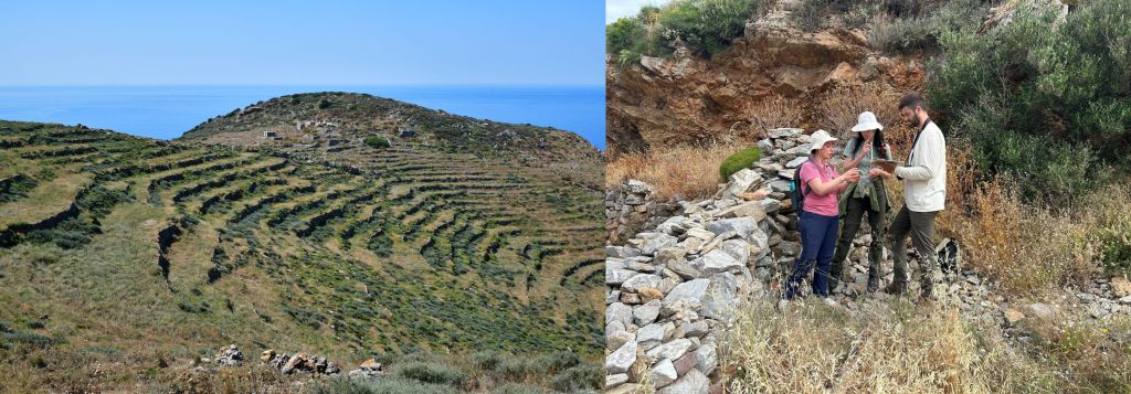
(Left) Portion of terraces surveyed. (Right) From left to right, Katerina Ragkou, Shannon Dunn, and Adam Wiznura conducting in-field lab analysis
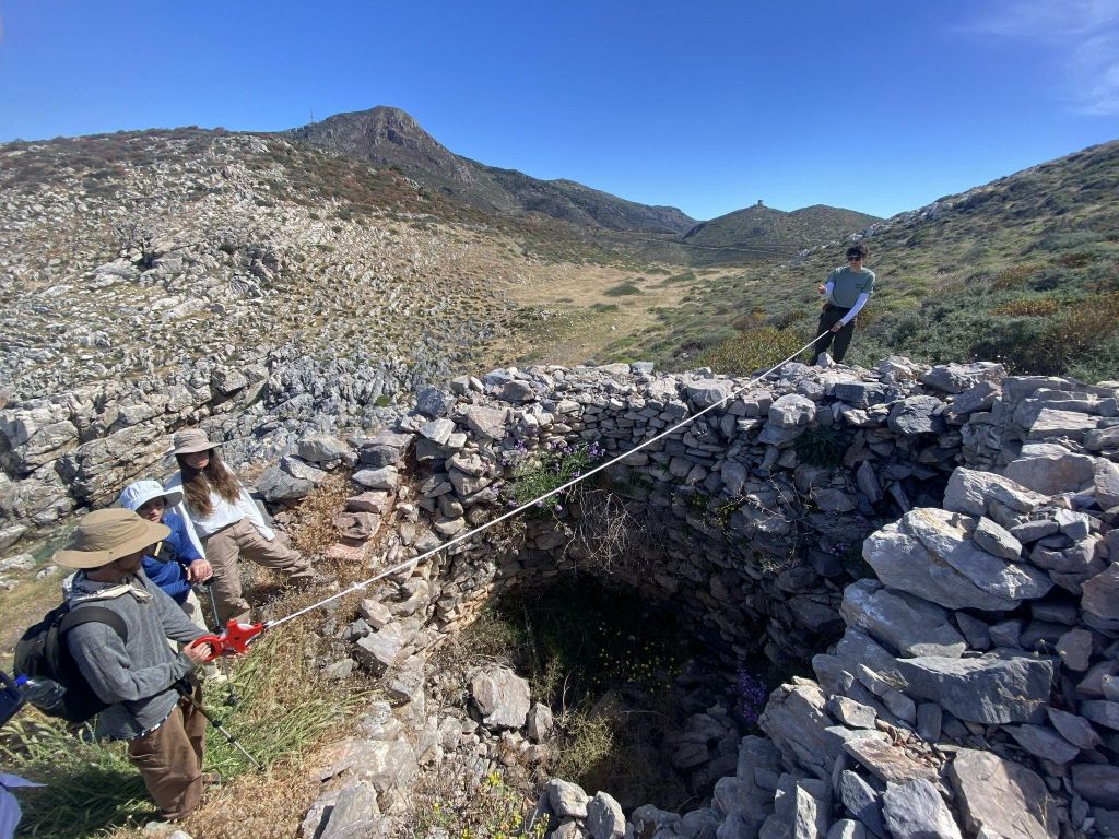
Gabe Davis (left) and Shannon Dunn (right) measuring a lime kiln discovered during survey
Landscape
The landscape posed unique challenges to our brave SMAP surveyors! From mountains, to beaches, and maquis forests, we traversed it all this summer. Slips, trips, and falls were common hazards encountered by all, but morale remained high as ankles stayed intact and humour always overrode pride. Of the 390 field units recorded this season, two-thirds of them had 25% or less visibility. Scrub and spiny broom were the most frequent culprits, followed by other types of surface vegetation, all of which ranged in height from ankle- to waist-high. The majority of the units surveyed contained intact and dilapidated terraces, and/or unmodified slopes with compact soil, bedrock, or rubble. Despite some of the challenges, traversing this beautiful landscape was well worth the effort.
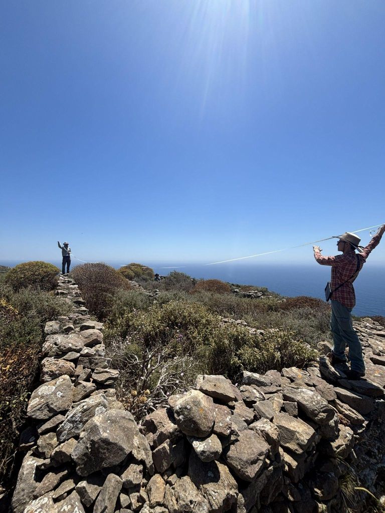
Aydaen Markowski (left) and Rebecca Seifried (right) measuring structure walls engulfed in vegetation
Notable Discoveries
A sudden yell by a student on a remote mountain is generally cause for concern, but for us this meant excitement as we had stumbled across something significant. Throughout the 2026 season, SMAP surveyors documented a diverse range of archaeological remains, including pottery scatters, architectural blocks, agricultural terraces, cisterns, towers, quarries and lime kilns! The majority of materials found fell into the category of ceramics or tile fragments but there were a few small finds that were collected with the permission of the local archaeological service. The items collected include six (!) loom weights, one coin, two glass fragments, one bronze sheet, and fragments of four terracotta figurines. Many of these materials were found (with much excitement) by our student researchers! There were also many notable features, including pre-modern structures, cisterns, and spolia. Surprisingly, we found very few lithic remains; only three small chipped stone fragments were found and no whole stone tools. The team found this puzzling but we are hopefully curious for more to be uncovered in the following seasons!
There were also several interesting structures uncovered. With only a few days left of survey we discovered foundation stones and a high concentration of ceramic materials on top of a mountain. The seemingly unusual configuration and makeup of the structural remains drew the intrigue of our team. After clearing the vegetation immediately surrounding the structure we were able to get a better idea of its layout but are still unsure on the function. The ceramics at this location appear to date to the Hellenistic, further study is needed on both the materials and structural remains however for a definitive date and site function.
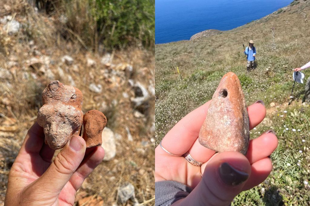
(Left) Discovered figurine heads. (Right) One of the six loom weights found
We also cleared a series of circular architectural features discovered during the survey. After some initial confusion, further research coupled with the clearing of the vegetation showed that these were saltpans, used for drying and collecting salt – an important economic driver in the region! The entire area was not able to be cleared due to a chukar bird nest in the surrounding vegetation (it should be known that SMAP will always break/brake for wildlife!).
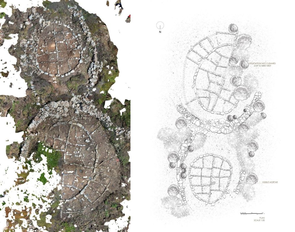
Aerial view orthomosaic (left) and scaled plan (right) of the salt pans in Site 022 (Matapan – Katergo – Salt Pans)
Photogrammetry
SMAP took to the skies this season as we were joined by Dr. Laurent Barillé, Dr. Simon Oiry, and Philippe Rosa, a team of aerial imaging experts from the Université Nantes in France, to capture some of the unique features we came across. They used drone LiDAR and photogrammetry to further map and document some areas of interest; by conducting different resolution flights to create a detailed 3D map of the areas. From this process we received high resolution mapping of several quarries and of the structure “Frankoklisi”. Photogrammetry like this is extremely beneficial for the documentation and further study of buildings, architectural members, and landscape because it provides additional data that further contextualizes our finds in the region allowing us to gain insights that we otherwise may not have!
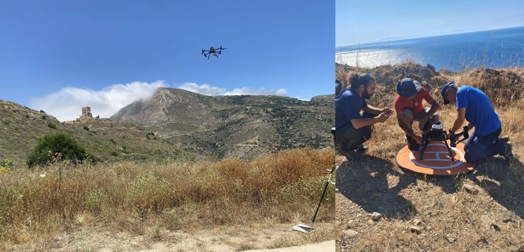
(Left) Drone flight. (Right) Dr. Simon Oiry (left), Philippe Rosa (middle) and Dr. Laurent Barillé (right) preparing drone for flight and recording
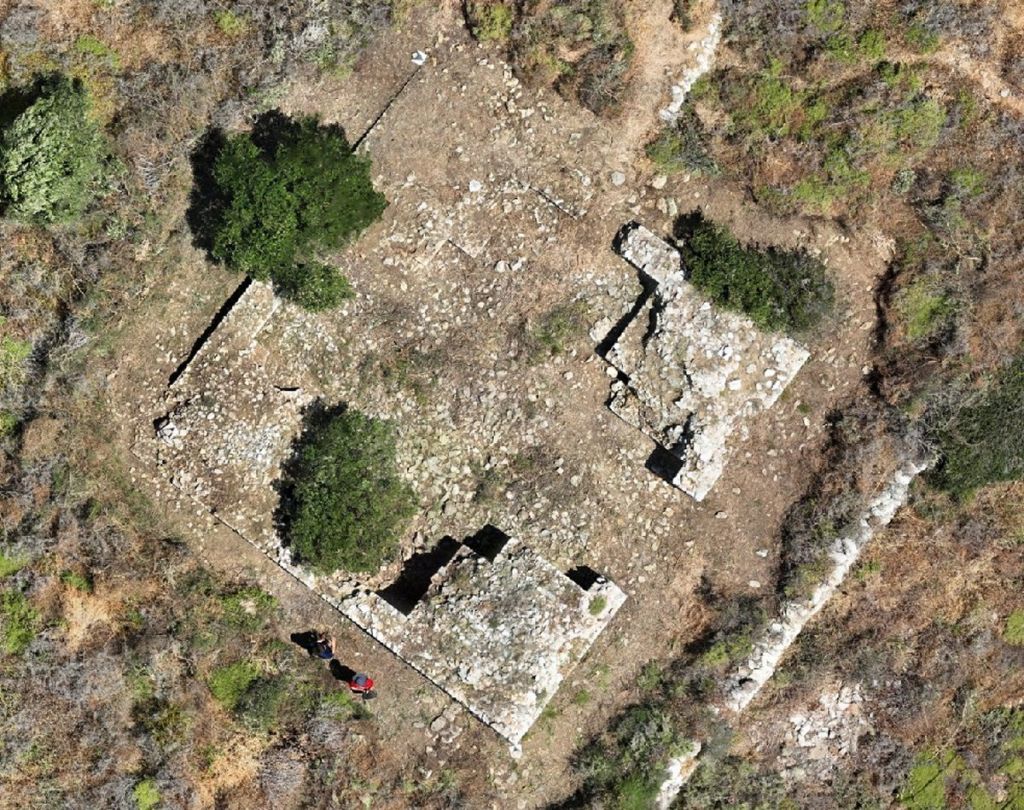
Drone photograph of Frankoklisi after vegetation cleaning
Geology
The geology team from Acadia University (Dr. Mo Snyder and Honours student Megan Earley) continued upon last season’s field work, exploring coloured marble and limestone outcrops of the Southern Mani Peninsula. Samples were taken at various sites in Matapan, including samples from red, green, black, and white marble outcrops.
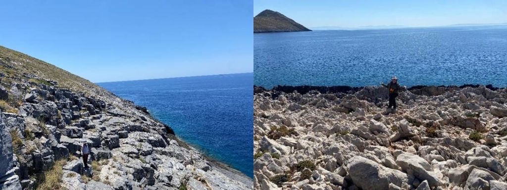
(Left) Dr. Chelsea Gardner at the black marble quarry. (Right) Dr. Mo Snyder at a white marble outcrop
This year, the geology team noted regional faults and brecciated material observed alongside coloured marbles and limestones. With the help of the SMAP archaeology team, it was identified that a series of faults, running through the white marble outcrop at Tainaron, travelled directly underneath the historic temple of Poseidon. While the geology team identified the structural features, the archaeology team connected the dots between Poseidon and his association with earthquakes. This unique observation highlighted the uses of working in a multidisciplinary team to piece together records of human activity on and within the natural landscape.
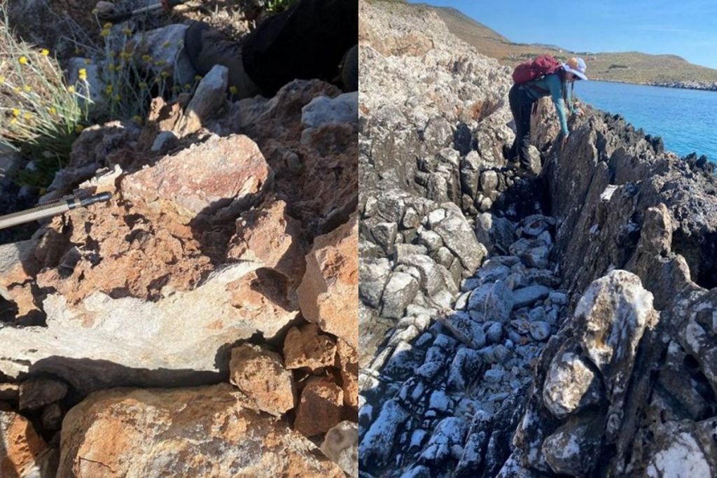
(Left) Breccia containing clasts of previously brecciated material, a helpful tool for understanding the geologic history of the area. (Right) Megan preparing to measure the orientation of the white marble at Tainaron
Back at the Acadia Petrographic Laboratory, rock samples from the current and previous field season are being processed for research purposes and for the archival collection at the Field Museum in Chicago, Illinois. Samples include representative material from each of the coloured-stone quarries, brecciated material from adjacent and nearby formations, unconsolidated material, and gastropod fossils.
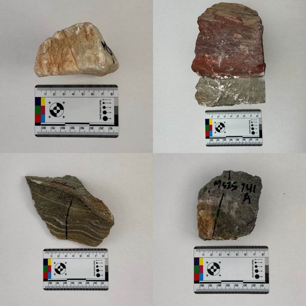
Samples of white (upper left), red (upper right), green (lower left), and black (lower right) marbles back in the lab at Acadia University
Looking Ahead
The 2026 field season demonstrated how much the landscape of Matapan and southern Mani can reveal when archaeological survey is combined with geological investigation, material analysis, GIS, LiDAR, and photogrammetry. Across steep slopes, dense vegetation, terraces, coastlines, and mountain ridges, the team documented new evidence for settlement, agriculture, water management, craft production, quarrying, and the use of local resources through time. These discoveries provide important new points of reference for understanding how communities in southern Mani shaped, occupied, and moved through this landscape while remaining connected to the wider eastern Mediterranean.
Although the walking has ended, the work of the season continues. Ceramic analysis, spatial interpretation, geological research, and the processing of aerial imagery will further refine our understanding of the features and materials recorded in the field. The results of this work will guide future survey seasons and help determine where more focused investigation may be most productive.
Most importantly, the season reflected the collaborative nature of archaeological research. Students, specialists, project directors, local communities, partner institutions, the Ephorate of antiquities of Lakonia, and the Canadian Institute in Greece all contributed to the success of the project. SMAP leaves the 2026 season with new questions, new data, and an even stronger foundation for continuing to explore the long-term relationship between people and the landscape in southern Mani.
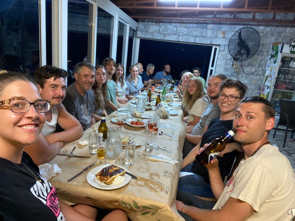
The 2026 SMAP team at Hotel Panorama in Pyrgos Dirou, Mani
When I got the news that I would be spending my summer in Greece, I was ecstatic. Originally, I impulsively submitted an application to my university’s international program because I had become very engrossed in Greco-Roman classics and
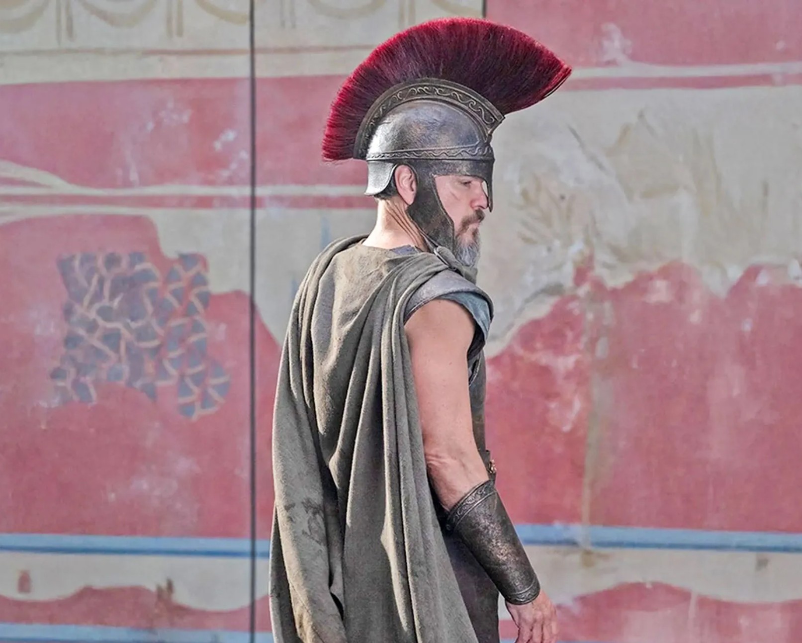
The biggest news from Hollywood this summer has been about the newest blockbuster film from Christopher Nolan, The Odyssey. In addition to its huge success and popularity, discussion focuses on the historical accuracy of various elements of the
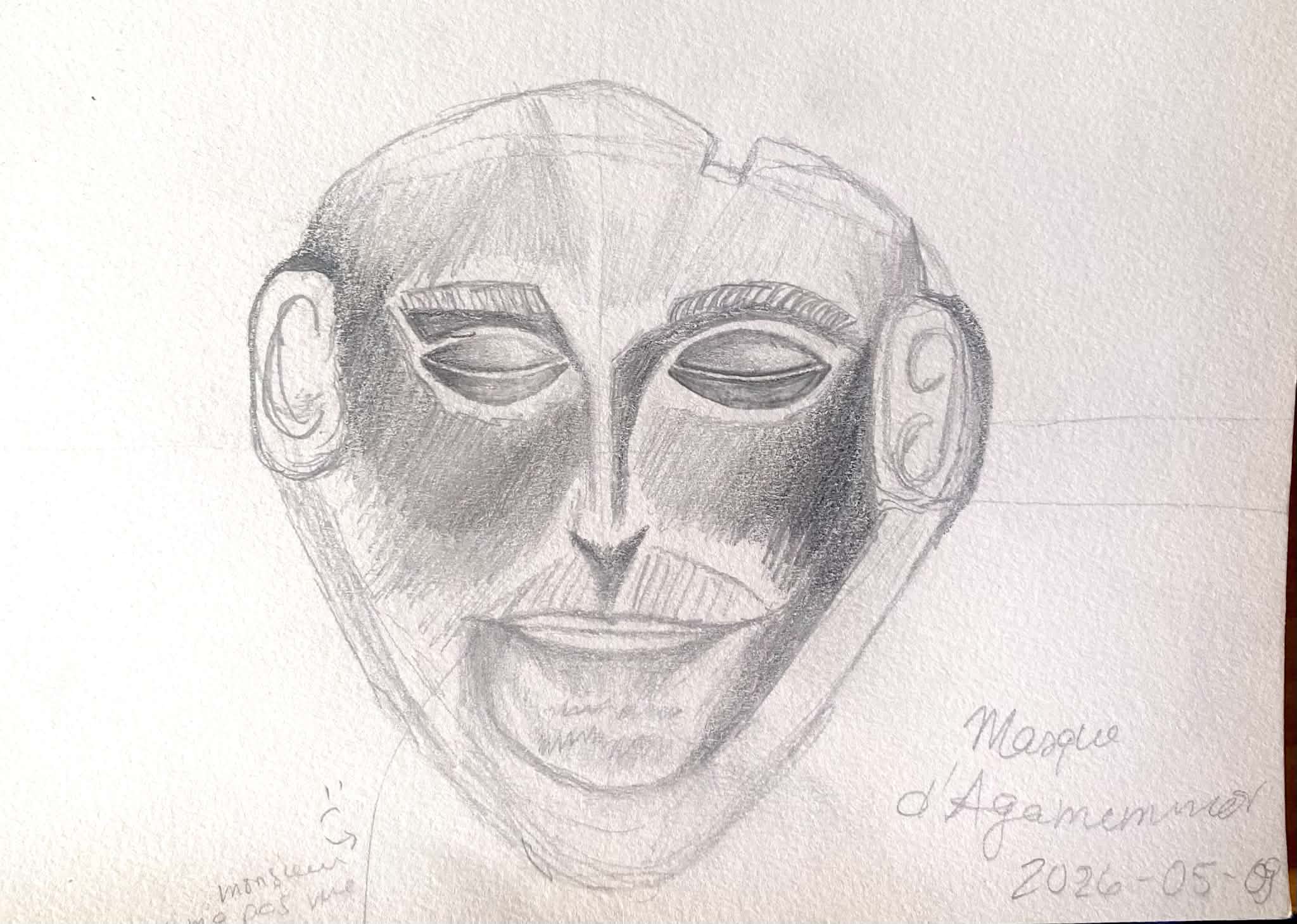
The study trip to Greece offered our group from the University of Montreal a rare immersion into the landscapes and ancient sites that shaped the thought and aesthetics of the ancient world. From Athens to the Peloponnese, the
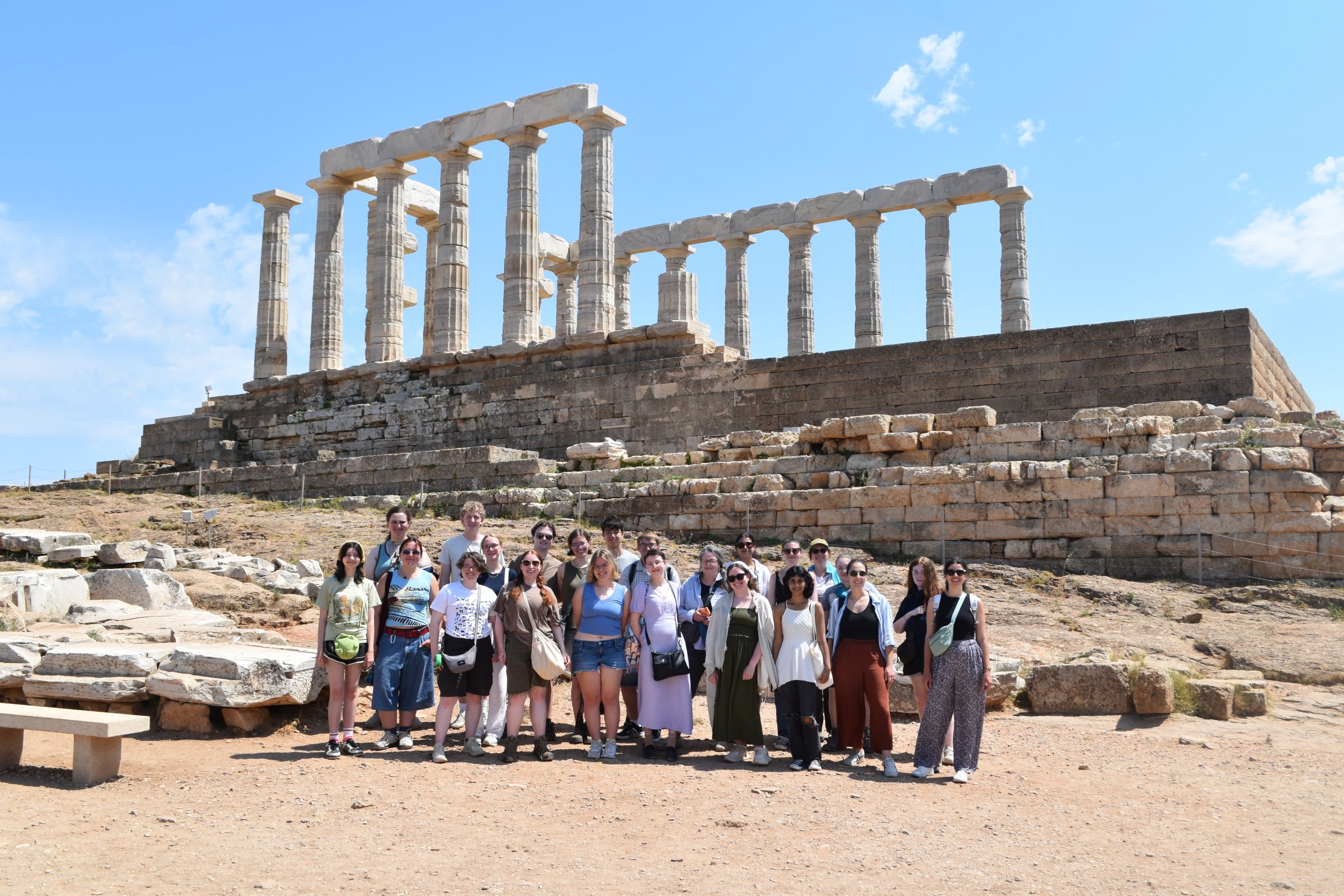
From May 17 to June 6, 2026, the Canadian Institute in Greece welcomed 22 students from universities across Canada for its annual Anglophone Summer School. Combining lectures with visits to archaeological sites and museums, the program offered participants
